Top Spot - Fishing Map N215, Stuart to South Fort Pierce and St.Lucie
Sold Out
 Top Spot Fishing and Recreation Map - Stuart to S. Ft. Pierce and St. Lucie Area
St. Lucie Inlet, St. Lucie River, South Indian River.
Stuart to South Fort Pierce and St Lucie Area.
Top Spot Fishing Maps are waterproof and include freshwater, inshore saltwater and offshore saltwater areas. Detailed information and GPS coordinates are provided for fishing locations, boat ramps, marinas and other points of interest. Loran-C and GPS.
Related Items
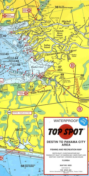
Top Spot - Destin to Panama City Area Fishing and Recreation Map
Sold Out
Top Spot Fishing and Recreational Map - Destin to Panama City Map No. N225 Destin Inlet * Choctawhatchee Bay * Panama City Inlet * St Andrew Bay * Deer...
Top Spot - Fort Lauderdale Area #Map No. N212
$22.99
Top Spot Fishing and Recreation Map - Fort Lauderdale Area Map No. N212 Port Everglades * Hillsboro Inlet * Boca Raton Inlet * Offshore Top Spot Fishing and Recreation...
Top Spot - Miami Area Fishing and Diving Recreation Map #N211
Sold Out
Top Spot Fishing and Recreational Map - Miami Area Map # N211 Biscayne Bay * Miami Beach * Key Biscayne * Card Sound * Barnes Sound Top Spot Fishing and...


