Top Spot - Fishing Map N215, Stuart to South Fort Pierce and St.Lucie
Sold Out
 Top Spot Fishing and Recreation Map - Stuart to S. Ft. Pierce and St. Lucie Area
St. Lucie Inlet, St. Lucie River, South Indian River.
Stuart to South Fort Pierce and St Lucie Area.
Top Spot Fishing Maps are waterproof and include freshwater, inshore saltwater and offshore saltwater areas. Detailed information and GPS coordinates are provided for fishing locations, boat ramps, marinas and other points of interest. Loran-C and GPS.
Related Items
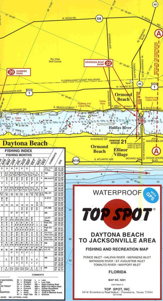
Top Spot - Daytona Beach to Jacksonville Area Fishing and Recreation Map
Sold Out
Top Spot Fishing and Recreational Map - Daytona Beach to Jacksonville Area Map No. N221 Ponce Inlet * Halifax River * Matanzas Inlet * Matanzas River * St Augustine Inlet...
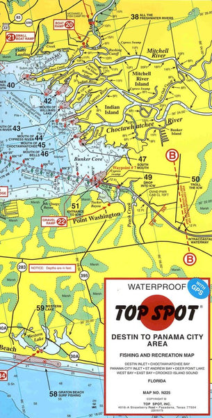
Top Spot - Destin to Panama City Area Fishing and Recreation Map
Sold Out
Top Spot Fishing and Recreational Map - Destin to Panama City Map No. N225 Destin Inlet * Choctawhatchee Bay * Panama City Inlet * St Andrew Bay * Deer...
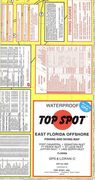
Top Spot - East Florida Offshore Fishing and Diving Map
Sold Out
Top Spot Fishing and Recreational Map - East Florida Offshore Area Map No. N220 Port Canaveral * Sebastian Inlet * Ft Pierce Inlet * St Lucie Inlet * Jupiter...


